-40%
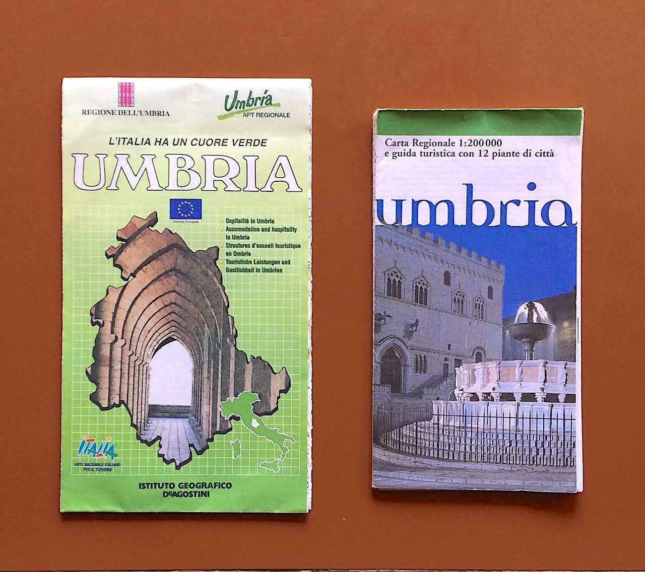
Two Maps of Italy’s Umbria Region
$ 6.33
- Description
- Size Guide
Description
Two maps of Umbria, the landlocked region that straddles the spine of the Italian peninsula, in the central Apennine Mountains, as well as the upper Tiber Valley.Includes a detailed terrain & transport map of the region, and its most important cities & towns (almost all beautiful places, including Perugia [the regional capital and largest city], Assisi [the home of Saint Francis and a UNESCO World Heritage Site], Gubbio, Spoleto [home of the famous annual arts festival], Todi, Castiglione del Lago, Terni, Orvieto and Narni). (From Instituto Geografico DeAgostini, 1999); and a map & guide to the region of 3,300 square miles and 900,000 people, including guides to its most scenic cities & towns (Perugia, Citta di Castello, Gubbio, Castiglione del Lago, Assisi, Foligno, Orvieto, Amelia, Spoleto, Todi, Cascia, Terni). (From Touring Club Italiano, 1995).


