-40%
Vintage Maps of Rome, Florence & Venice
$ 7.91
- Description
- Size Guide
Description
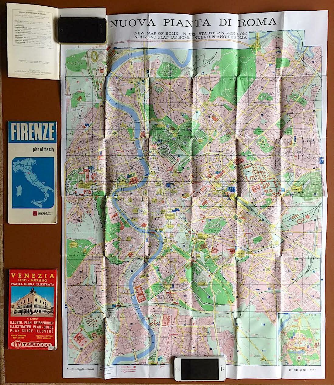
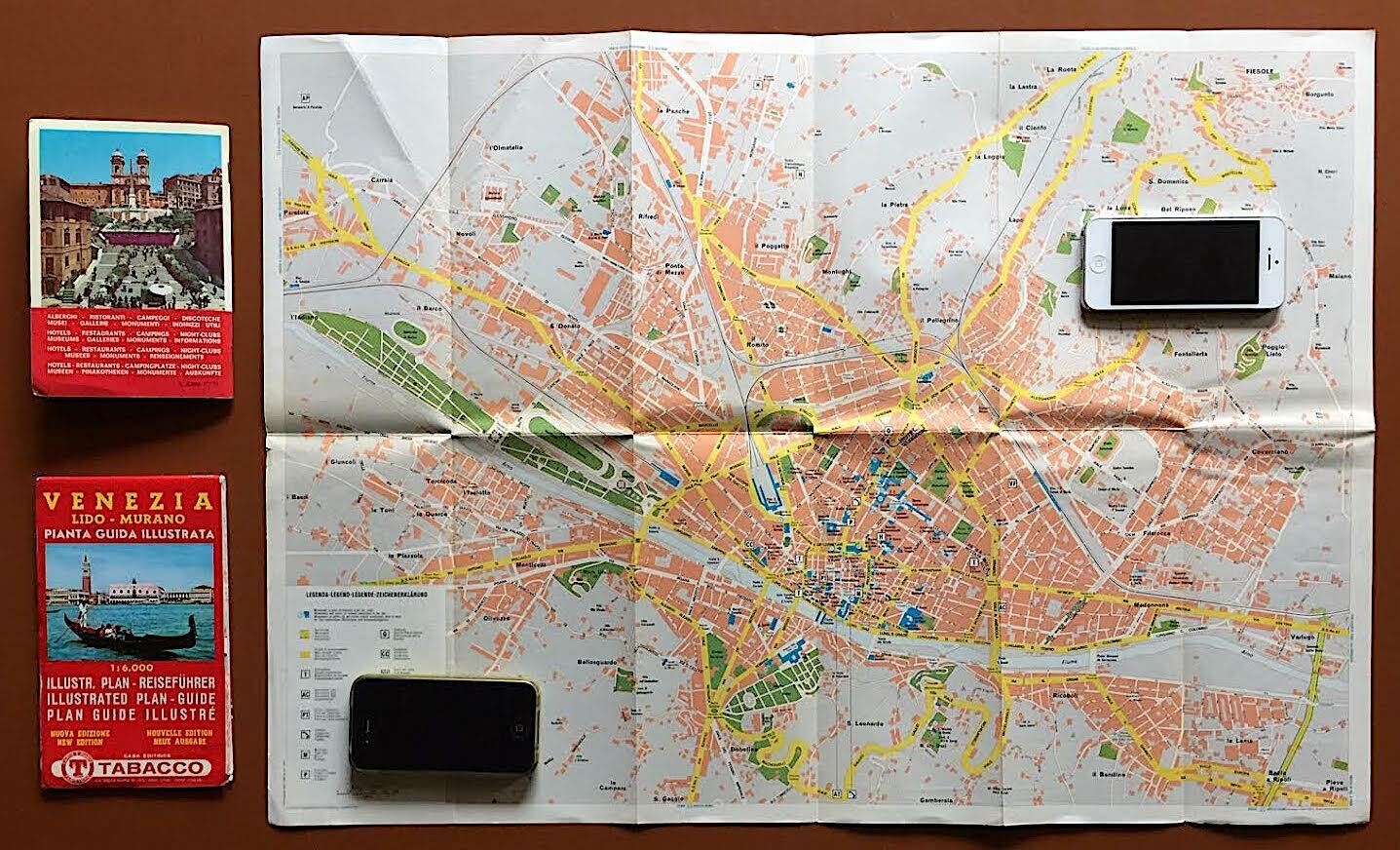
Vintage street maps of the big three cities for visitors to Italy—Rome, the Eternal City; Florence, the Birthplace of the Renaissance; and Venice, the floating city of islands and canals, often considered the most beautiful in the world.The Roman map (from Editrice Lozzi, circa 1970) features major streets, the metro system, public spaces and points of interest. The Florentine map (from the Italian State Tourist Department, 1973) features a street map and major landmarks on one side and a guide for visitors on the other side. The Venetian map (from Tabacco, 1976) features a map of the major islands in the Venetian Lagoon (La Giudecca, Murano, Lido, as well as the two main ones on the Grand Canal), along with a small map of the entire city (including Mestre and Marghera on the mainland), and is lined with pictures of this city’s iconic landmarks along the top, on one side and features a guide to the city (in Italian, German, English and French) on the other side.


